Ditch Bank Road

Absent access to a boat, the ephemerally flooded fields at the west end of Ditch Bank Road have recently been the most productive location in Gloucester County to find shorebirds, with a list highlighted by White-rumped Sandpiper and Wilson’s Phalarope that now boasts 13 species. The best location to park is a small gravel pull-off along Ditch Bank approximately a quarter mile from its intersection with Maryus Road. Please do not walk off the road into the fields. Viewing the fields here can be tricky since a slight rise in the middle of the field (often planted with soybeans) obscures some of the closer exposed mud habitat. The best way to improve viewing here is to gain height; if you own a pick up truck this would be an excellent situation to set up a scope in the bed, or if you are bold and a little bit foolhardy (like the author), climb on the roof of your car. If your vehicle isn’t of help, standing in the middle of the road at the apex of the pavement is both feasible and helpful on this oft-traveled road. An alternative vantage point for viewing the exposed mud is from Perrin Creek Road, but there aren’t any good pull-offs and the shorebirds are typically more distant so it often isn’t worth more than a quick driveby. While there is still much more to learn about this site, there are indications that shorebird numbers are at their highest during high tide. There has been almost no birding done here during mid-summer or winter, but there is no reason to think that interesting shorebirds, puddle ducks, or waders couldn’t be found here during these seasons.

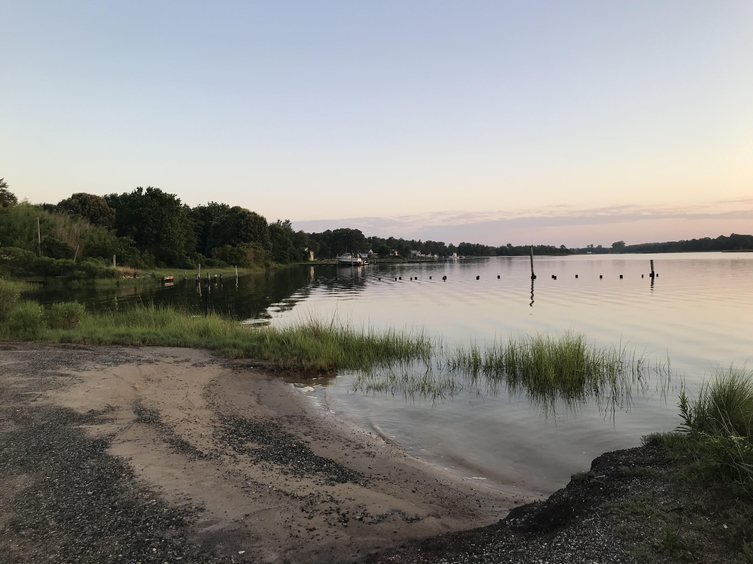
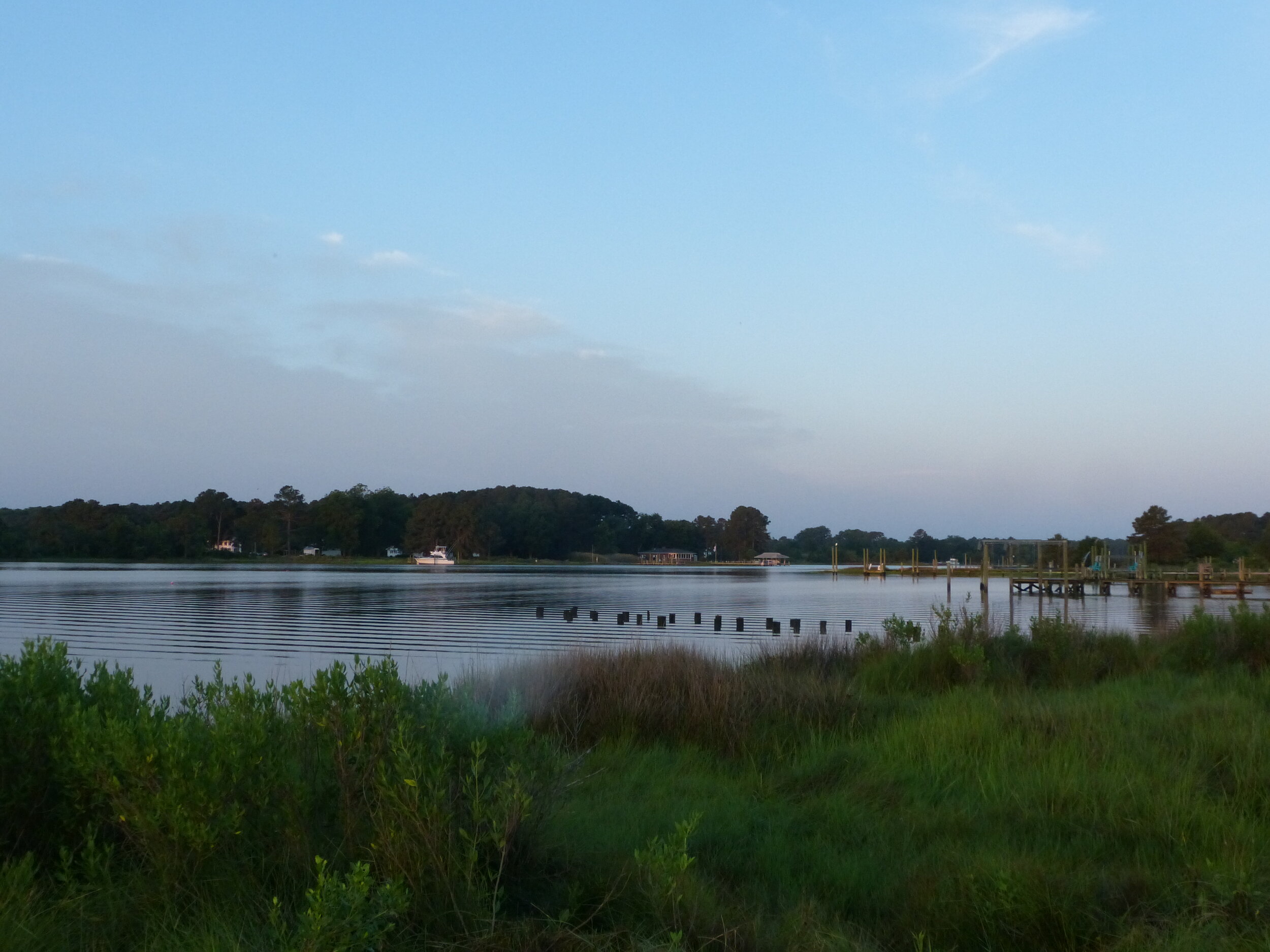
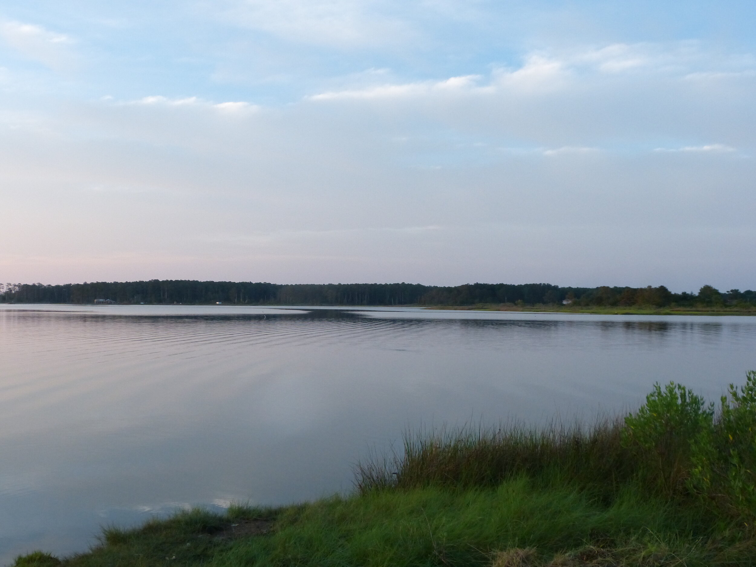
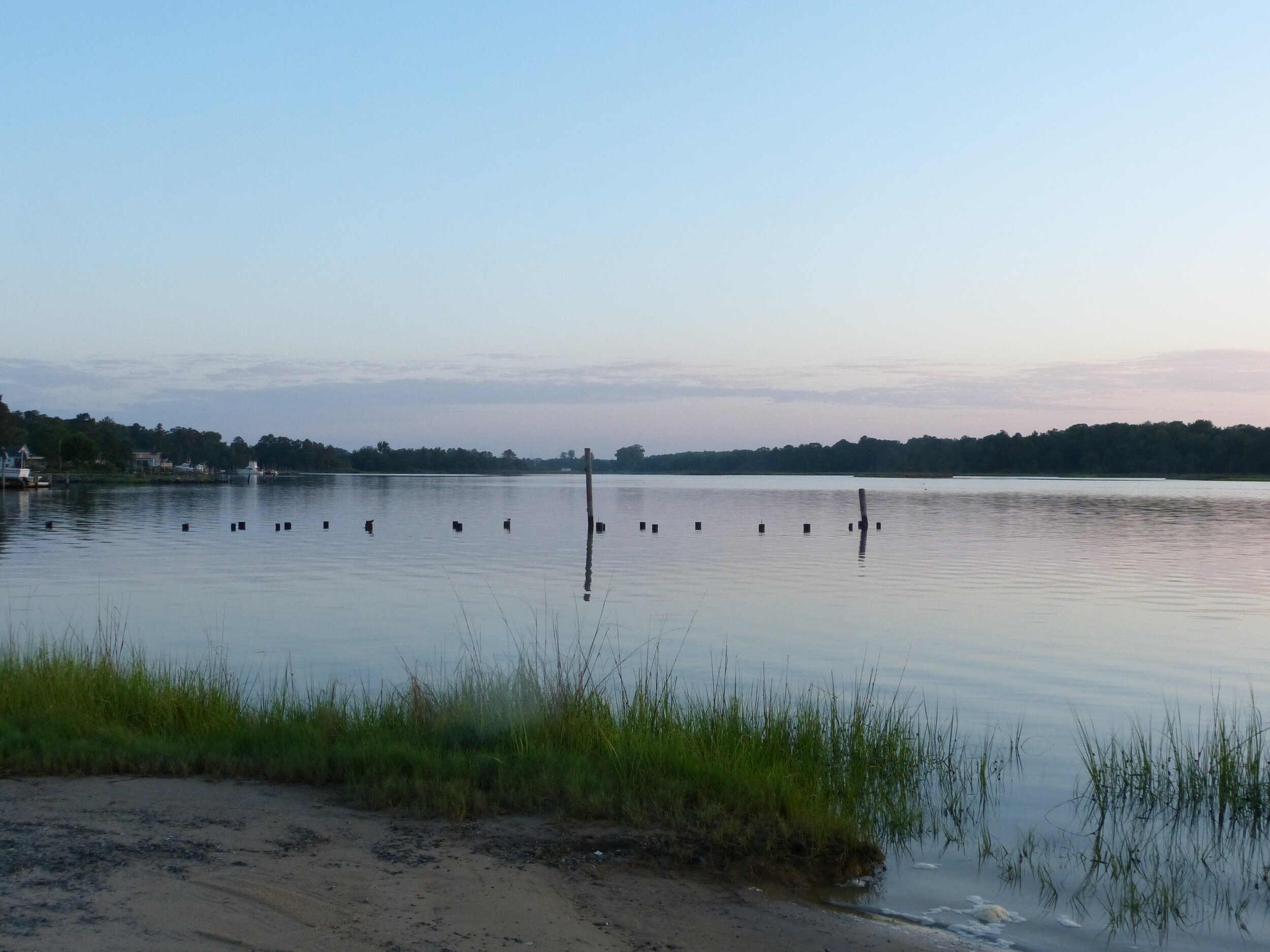
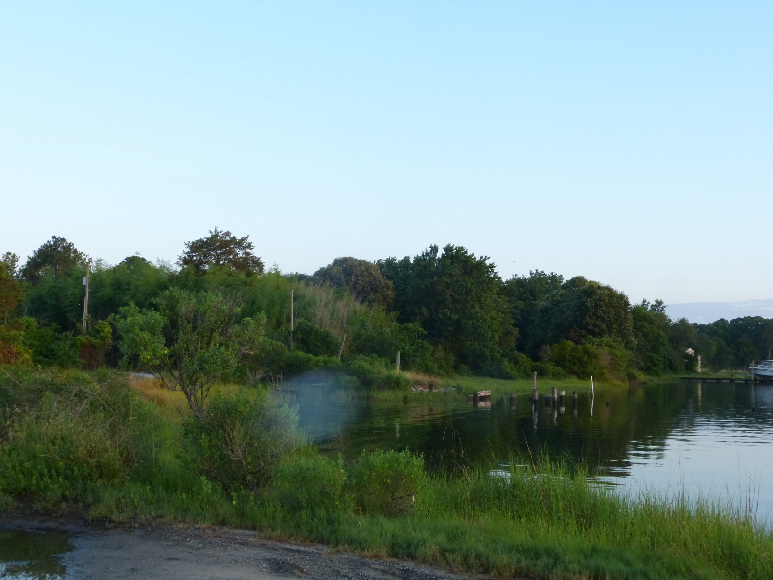
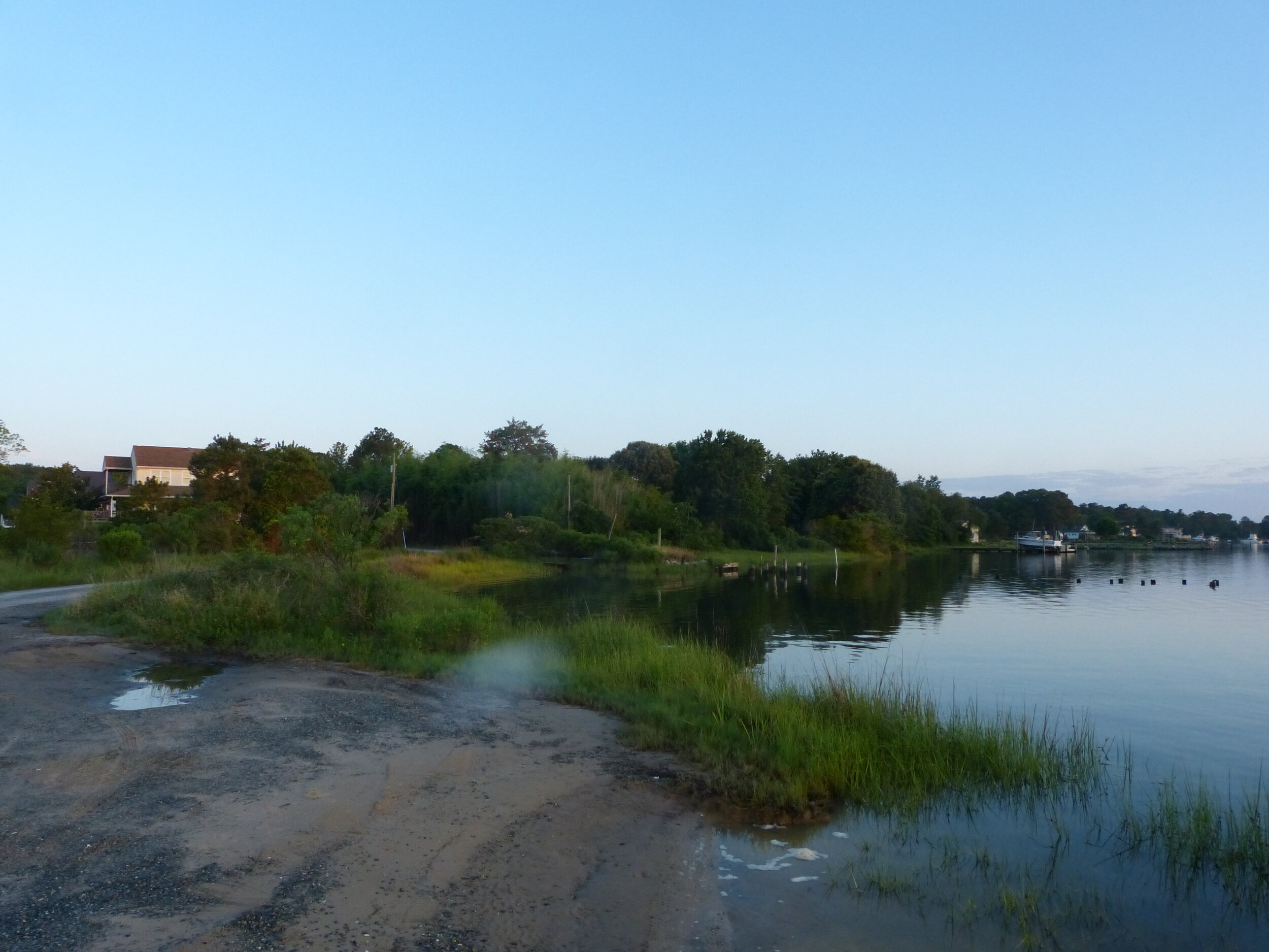
Further east, Ditch Bank Road runs along a stretch of tidal saltmarsh. This area has so far produced Saltmarsh Sparrow (during an extreme high tide event) and Clapper Rail, but seems to have the potential to host other species typical of this habitat like Sora, Sedge Wren, and Nelson’s Sparrow during the proper season.

eBird Hotspot: Ditch Bank Road

—Nick Newberry

Return To Gloucester Profile

Brays Point Ramp

Brays Point Road terminates in this primitive boat landing on a thin spit of land providing access at the juncture of Vaughans Creek with the NW Branch of the Severn River. The immediate area is somewhat developed, with a few larger homes at the end of Brays Point Road as well as a mobile home park to the northwest of the boat launch. As a result, while the boat landing is a very birdy location, most of the species are typical suburban dwellers including cardinals, grackles, robins, mockingbirds, starlings, House Finches, and more. In the breeding season, this assortment is augmented by common woodland or edge species such as Great Crested Flycatcher and Eastern Kingbird, while swallows and martins course over the water hunting insects. There is fairly little marsh habitat adjacent to the boat ramp, so apart from Common Yellowthroats, this is not a particularly good location to seek out wetland birds. There are more extensive marshes opposite the river from the boat ramp, and while this isn’t particularly helpful for rails, marsh sparrows, and the like, it is suitable for waders. Particularly in the mornings and evenings, this may be a good spot to watch for herons and egrets traveling to and from their foraging grounds. The water here also attracts gulls, Ospreys, and Bald Eagles. Thus far, there has been essentially no winter birding effort here, but this hotspot seems a likely location to host waterfowl, loons, and grebes during the colder months.

Accessibility: The boat ramp is publicly accessible, but it is extremely primitive and offers no launching facilities or paved access. At the very tip, the unpaved road can be a bit muddy and sandy, so if you are concerned about your car’s ability to handle on those surfaces it may be best to stop just short of the end.

Owner/Manager: Virginia Marine Resources Commission

eBird Hotspot: Brays Point Ramp

—Matt Anthony

Return To Gloucester Profile